Information
- Distance: 5 miles
- Grade: Gentle
- A GPX route of this walk is available: Download GPX
- Directions to Car Park
- What Three Words
receive.operation.tomato
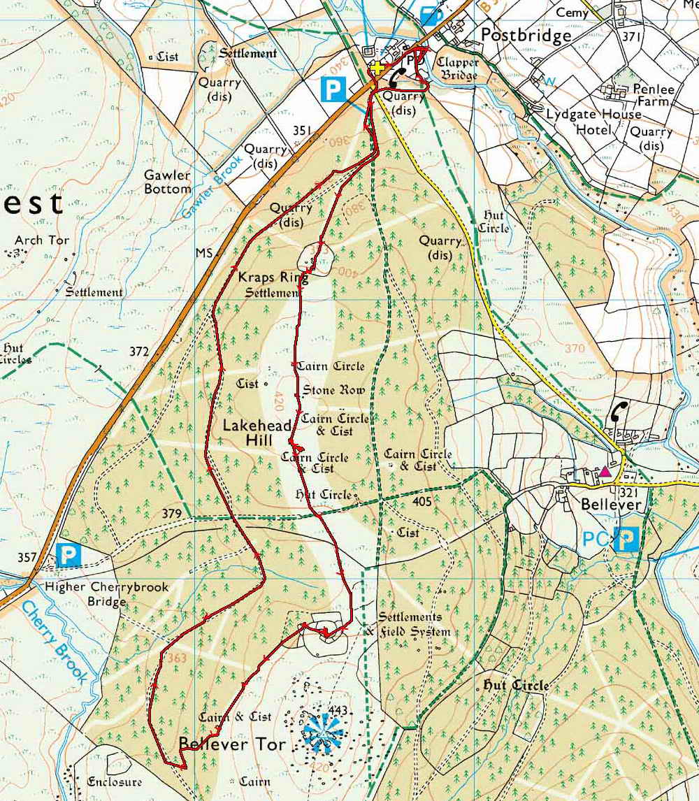
Map
Introduction
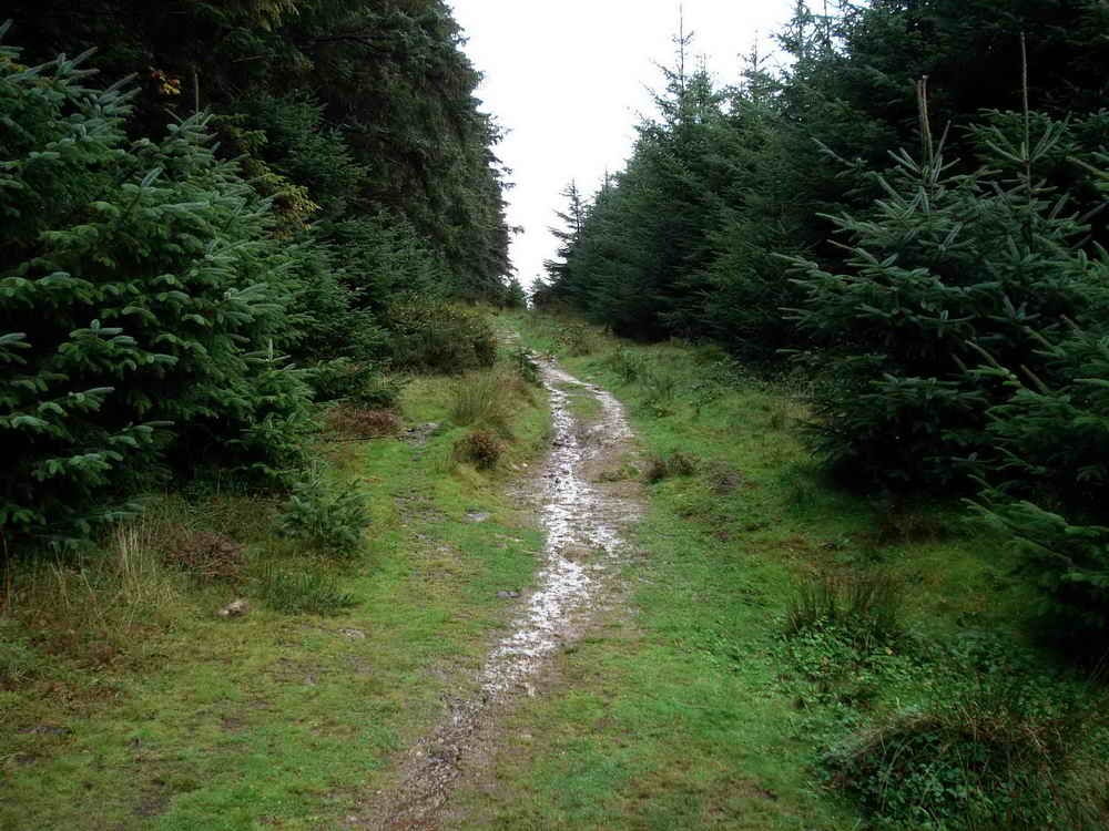
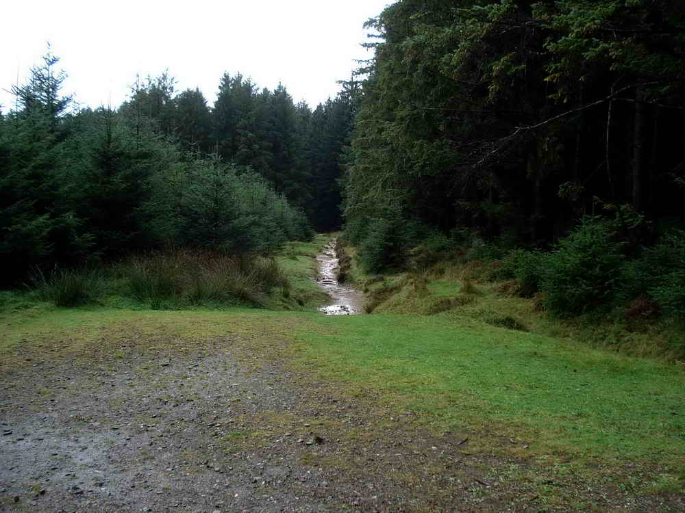
This is a pleasant and fairly easy walk. The terrain is mostly forestry paths, with some small sections of open moorland. The paths may have small puddles, and mud or ruts if there’s forestry work underway, but are generally well maintained.
Since this walk was first published, Dartmoor National Park have created a circular walk that also takes in these ancient sites in Bellever. The details may be available from the Visitor Centre at the start, but the route may differ from ours.
Please keep dogs under control. Bellever woods are conservation grazed by Dartmoor Ponies, and sheep may be present in the early section just after the Clapper Bridge.
When you’re ready to leave, leave the car park and walk down the road a short distance and take the path to the right to the Clapper Bridge
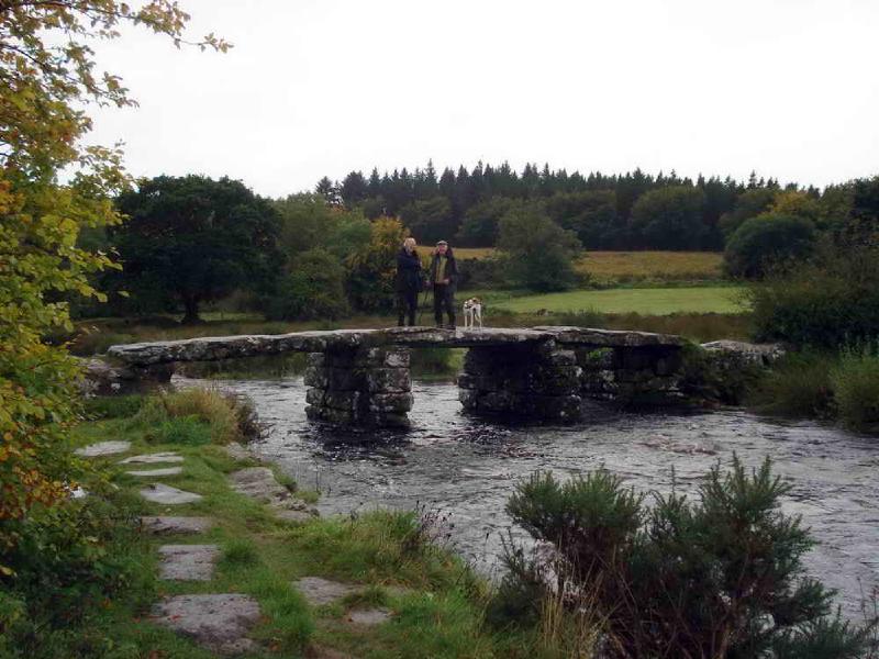
Clapper Bridge
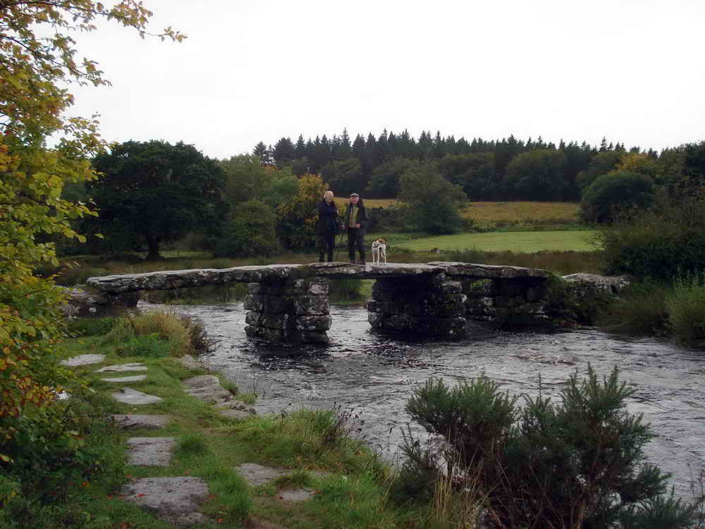
Postbridge Clapper was likely built in the Medieval period, around the 13th Century, but may be older than this as it’s impossibly to date accurately. What’s clear is that it was built to provide a safe crossing for the packhorse routes needing to cross the river, with stout ponies carrying wool and agricultural goods and later, supplying the tin mining industry. Today, the village of Postbridge remains a central and important location on Dartmoor.
There are hundreds of Clapper Bridges on Dartmoor, which are the simplest of stone structures relying purely on gravity - no interlocking joints or mortar are used. Postbridge is unusual in that the slabs are particularly large and would have been difficult to position. Partly because of their size, the bridge has proved remarkably resistant to flood damage over the centuries and has mostly survived without change. However, you may notice iron bands that help secure it now. These date from around the Victorian period onwards, being replaced when necessary, and more modern repairs may show epoxy resin filled holes from the 1980s onwards.
It’s one of the most photographed bridges on Dartmoor and a very familiar sight to travellers.
Follow the path downstream on the right-hand bank, crossing it at an angle Southwards towards a large oak tree
Mould Stone
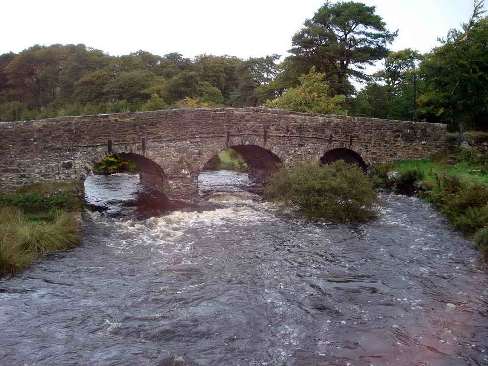
Just past the Oak Tree, using the road bridge in the picture above as a reference, there’s an old Mould stone.
When tin ore was smelted at a blowing house, the tin was poured into mould stones to cool. These formed ingots of a specified shape and weight which were then carried off the moor to be sold. It’s not known why this stone is here - there’s no known blowing house nearby and they were too valuable to be easily discarded, but as we know this was a route travelled by tin miners, perhaps it fell unnoticed from a pack pony’s load.
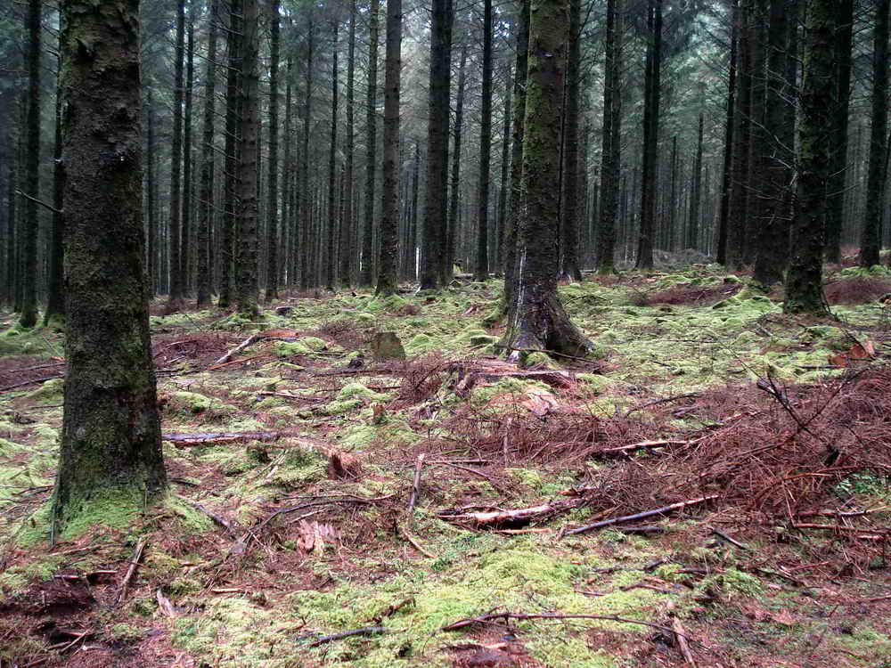
Bellever Forest
Head Westward to the Forest car park, crossing the Bellever road. Then follow the main path into the woods due South
Bellever Forest was planted by the Duchy of Cornwall in 1921 to help replenish national wood supplies which were much depleted after the First World War.
The Bellever Complex is an internationally renowned archaeological site, and forestry has obscured or damaged a large part of it.
Follow the path and map until you reach…
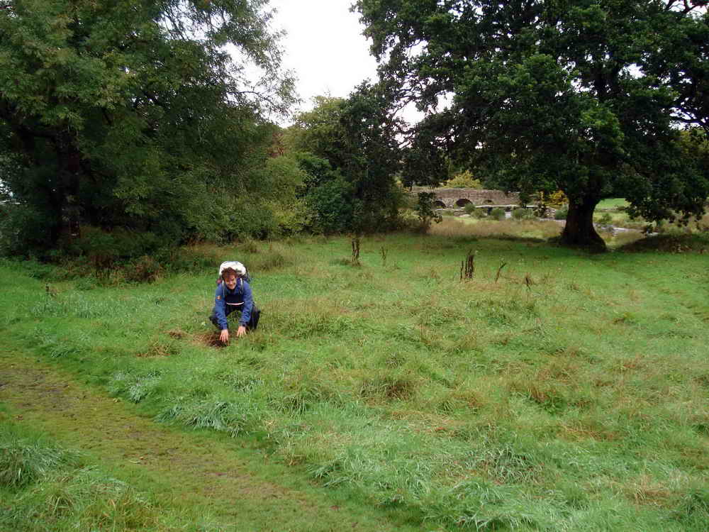
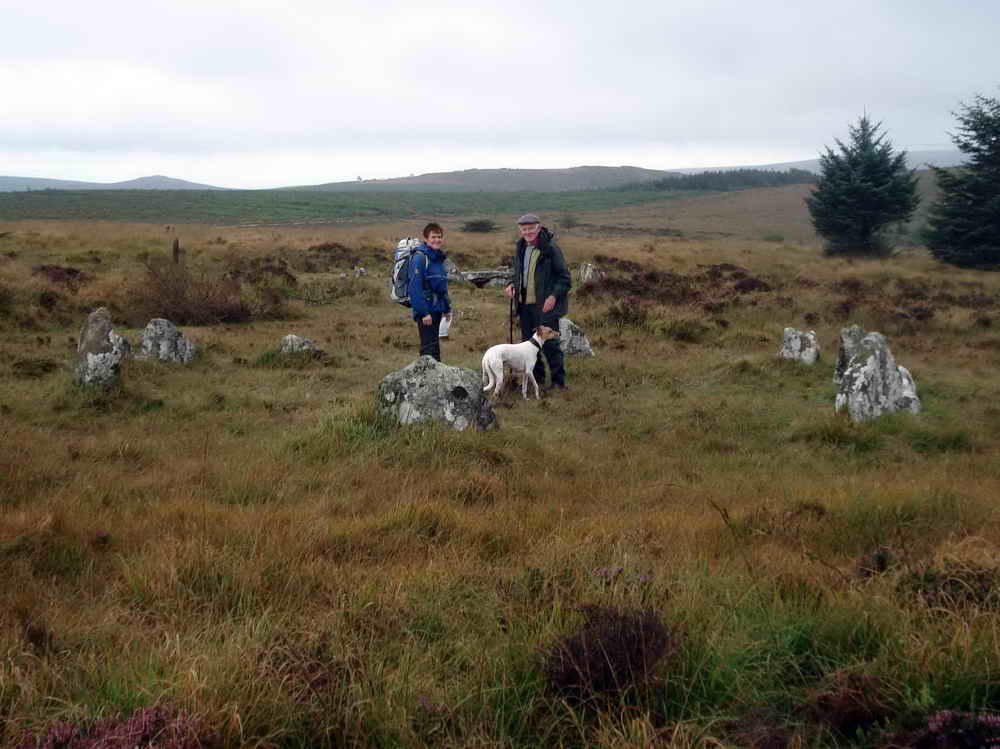
Kraps Ring
- Kraps ring is a Bronze Age settlement of around 9 stone hut circles within a partially enclosing perimeter wall of roughly 30 meters diameter.
- The name “Kraps” may derive from a local term meaning “Corpse”.
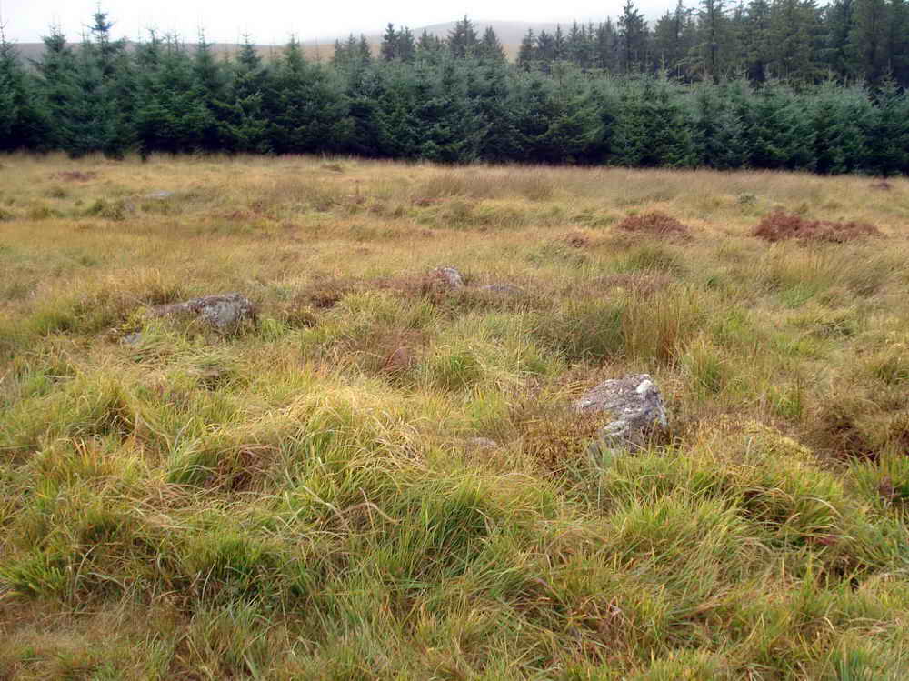
Stone hut circles and hut settlements were the dwelling places of prehistoric farmers on Dartmoor. They mostly date from the Bronze Age, with the earliest examples on the Moor in this building tradition dating to about 1700 BC. The stone-based round houses consist of low walls or banks enclosing a circular floor area; remains of the turf or thatch roof are not preserved. The huts may occur singly or in small or large groups and may lie in the open or be enclosed by a bank of earth and stone. Although they are common on the Moor, their longevity and their relationship with other monument types provide important information on the diversity of social organisation and farming practices amongst prehistoric communities. They are particularly representative of their period and a substantial proportion of surviving examples are considered worthy of protection. – Historic England
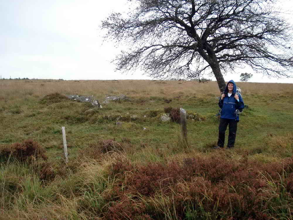
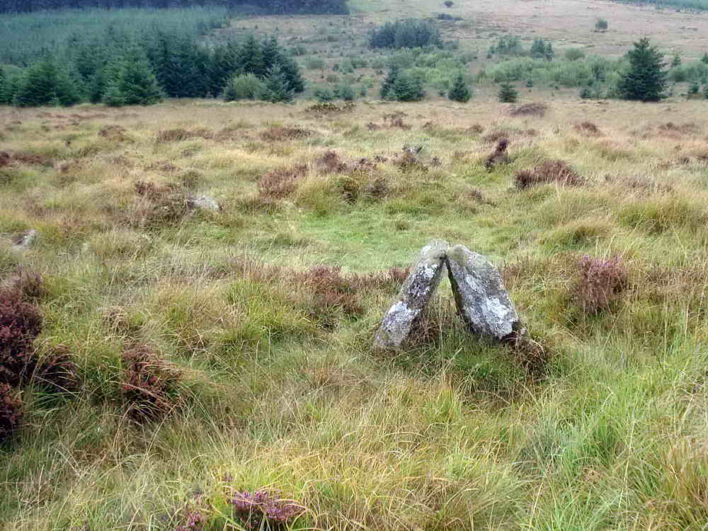
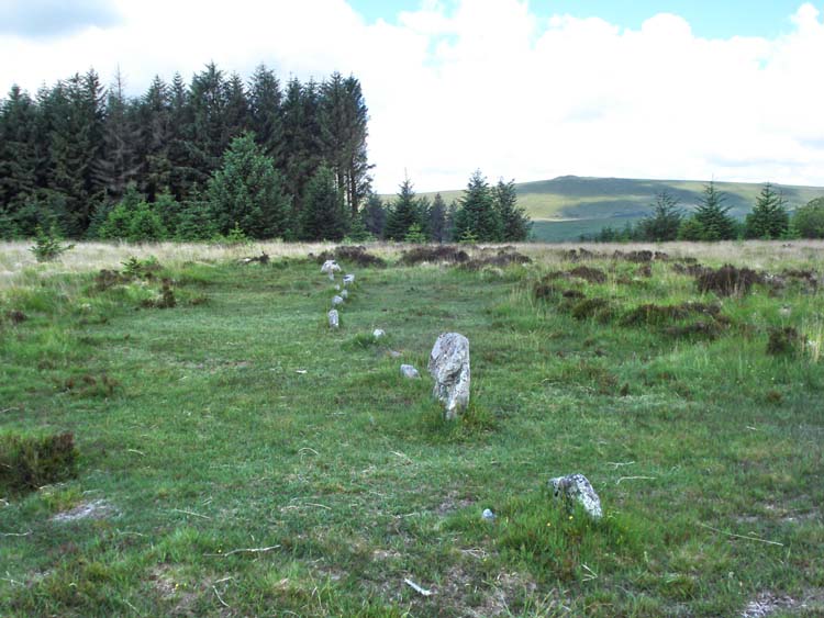
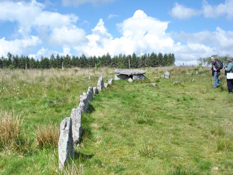
Stone Row
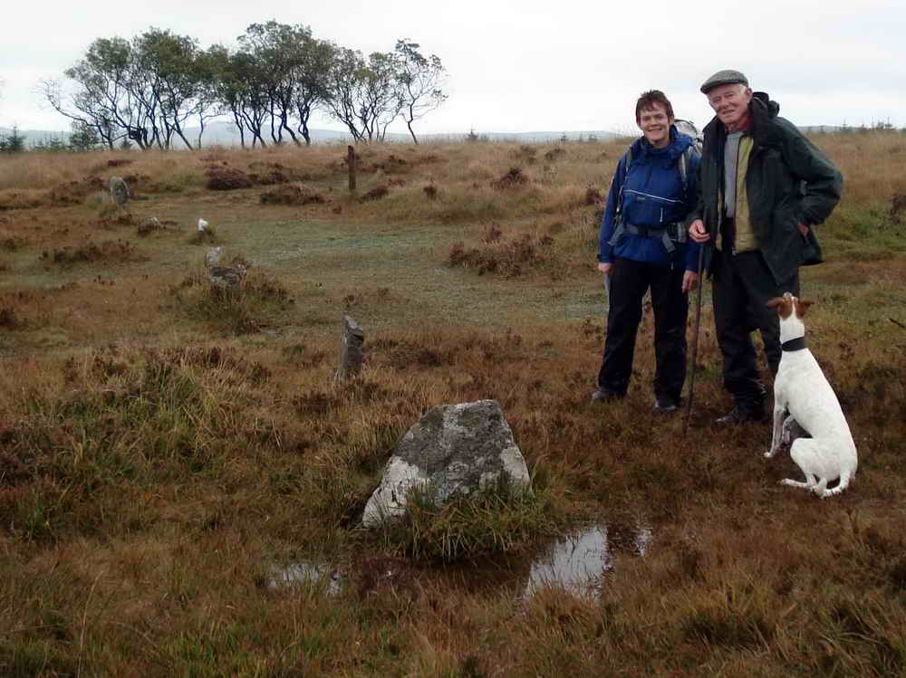
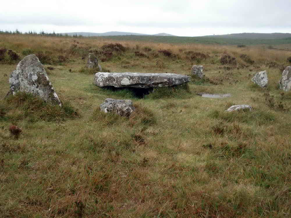
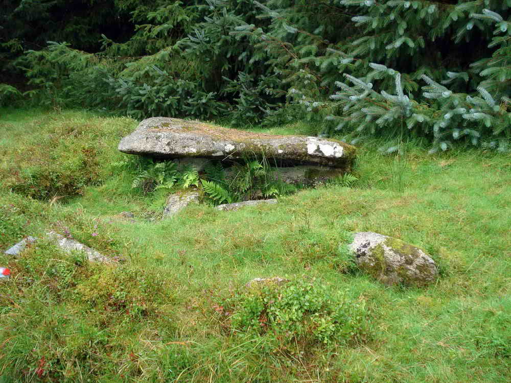
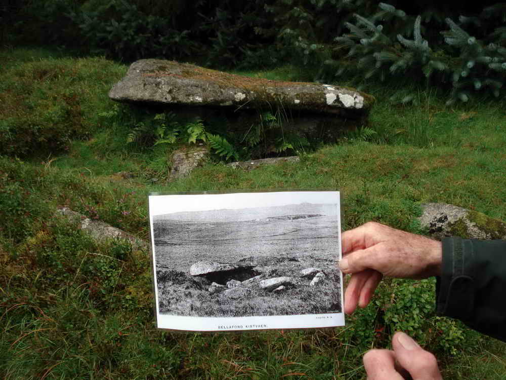
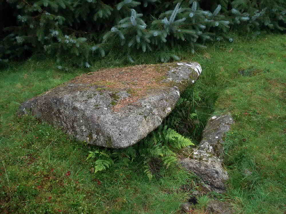
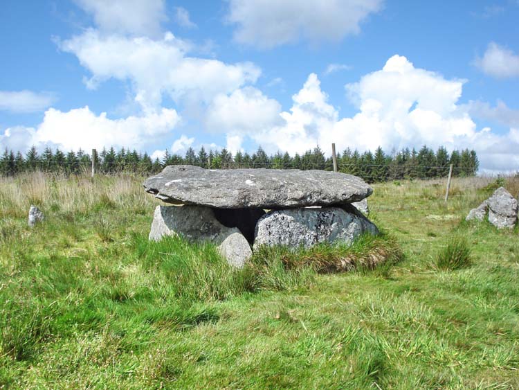
Stone Circles and Cist
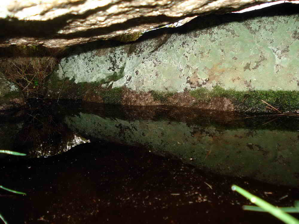
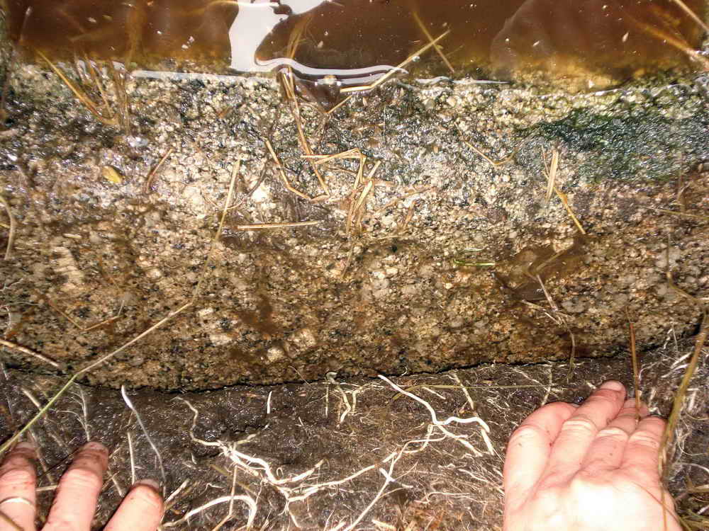
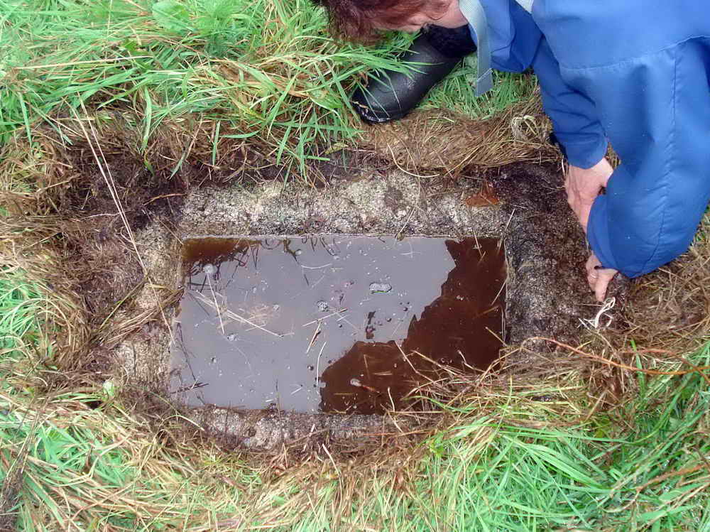
During winter it’s not unusual for any hollow in the peat to fill with water.
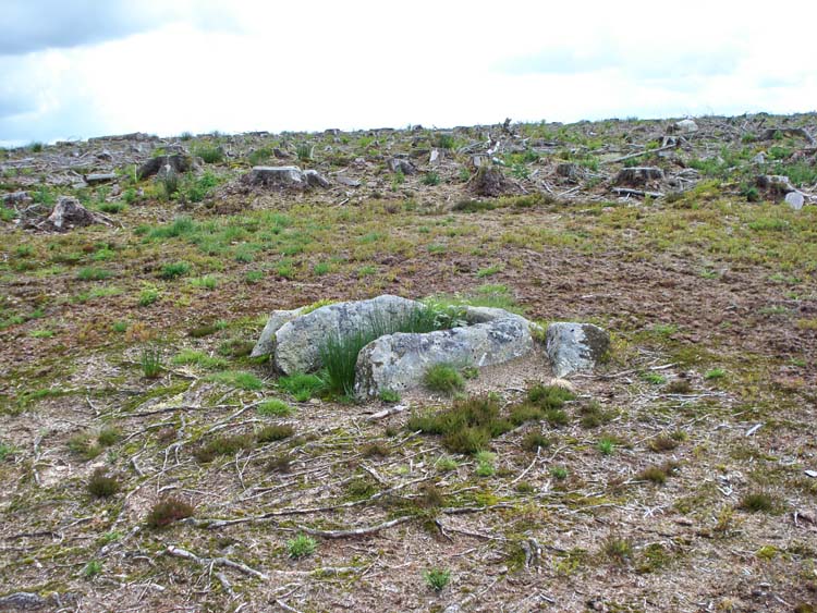
There are two hut circles here, one behind the other in the rosette settlement where walls are added on to enclose more land. Nearest the camera may be two door posts that have fallen in against each other.
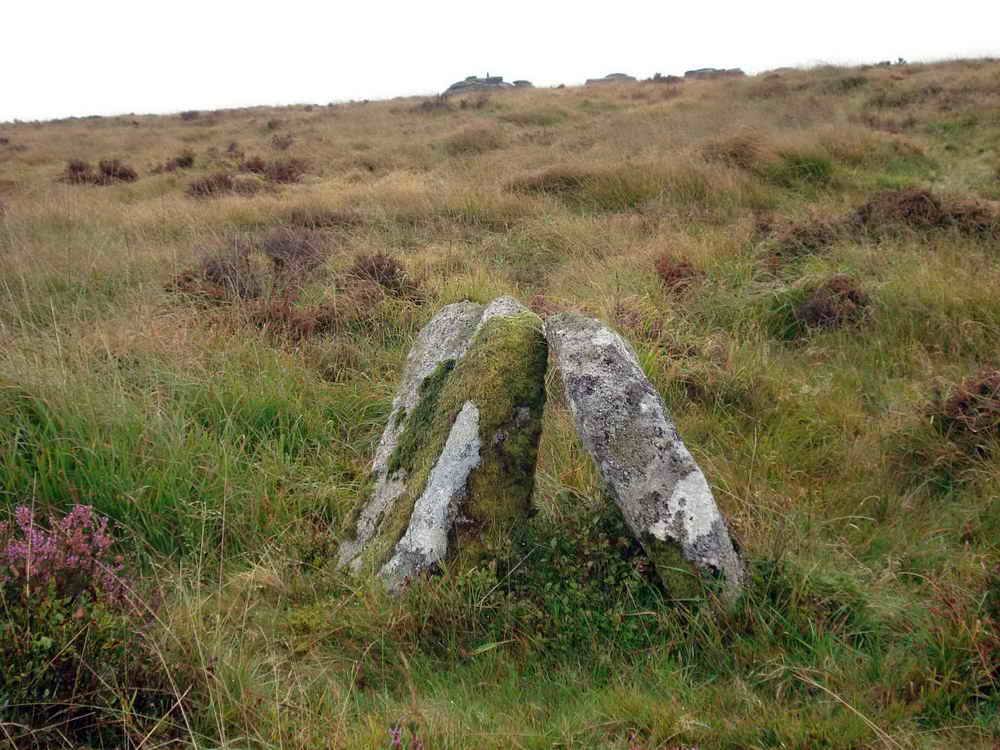
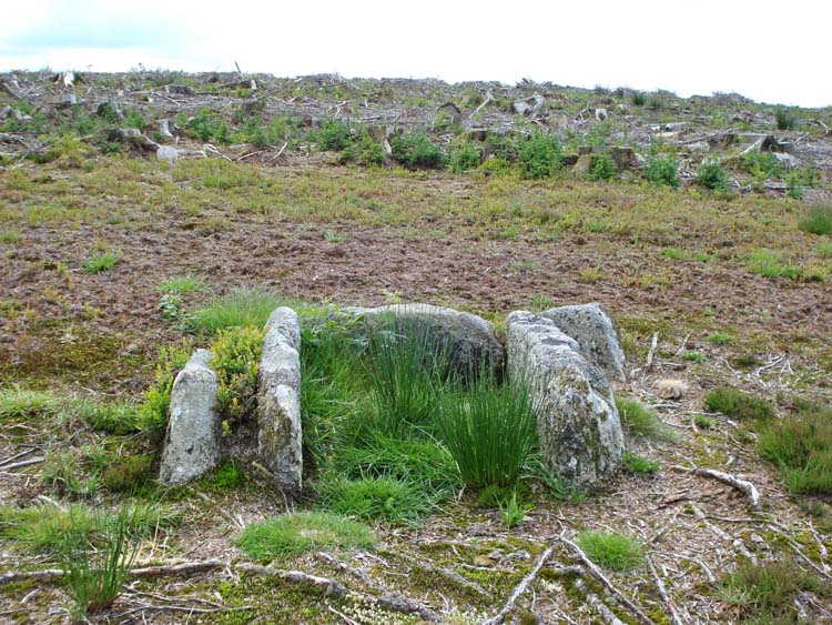
Cairn and Cist
Lych Way
Heading Southwards, we cross the Lych Way at right angles.
The Lych way is a medieval track starting from Bellever Village a short way to the East and continuing Westwards for around 10km, mostly across open moor, to Lydford Church. Church laws at the time forbade burial for this region except at that location, and the dead were carried there to be buried. There are several “Coffin stones” along the route where the coffin would be put whilst the bearers rested. The practice ceased in 1260 when the dead were allowed to be buried at Widicombe-in-the-Moor, although some still chose to be buried at Lydford.
Even today, this route is associated strongly with supernatural happenings by some. The editor’s own mother once swerved to “avoid a coffin in the middle of the road” whilst driving alone at night.
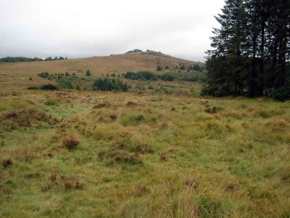
Bellever Tor
Although not on our track, you may wish to make a detour up to Bellever Tor from here. The views are impressive, and it’s always interesting to see the Trig Point and try to spot others
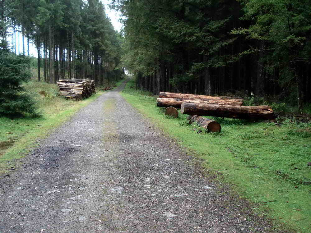
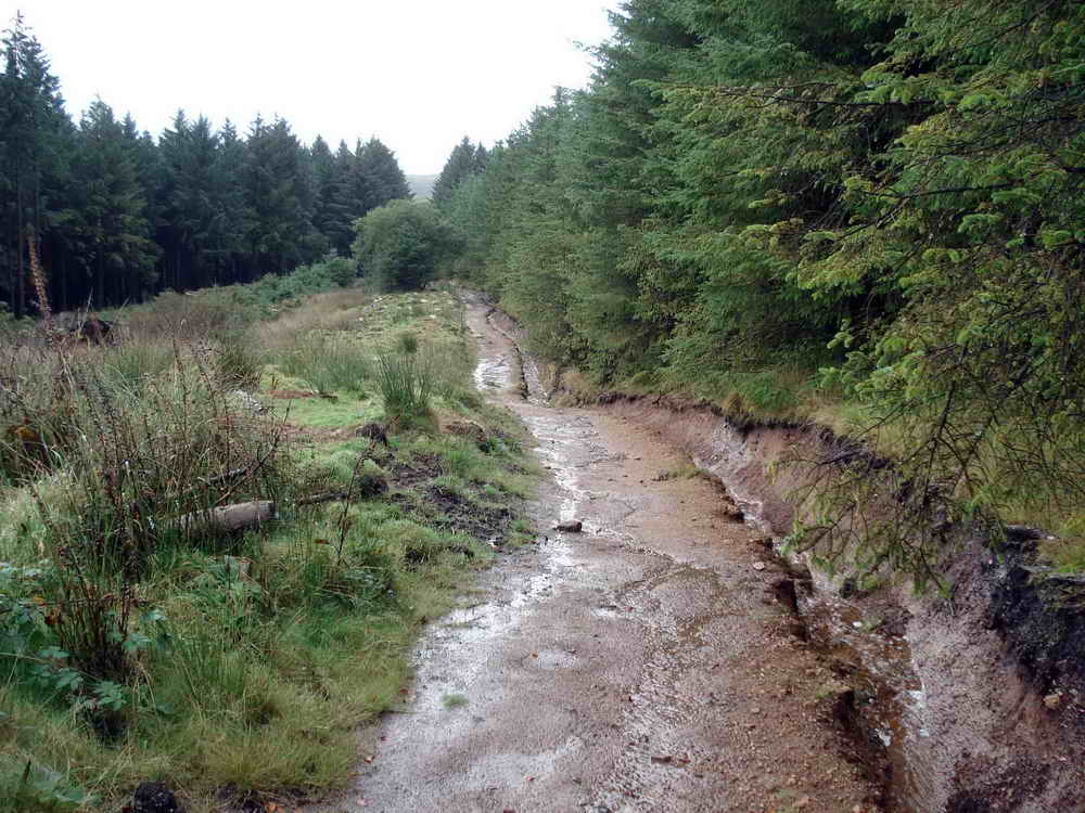
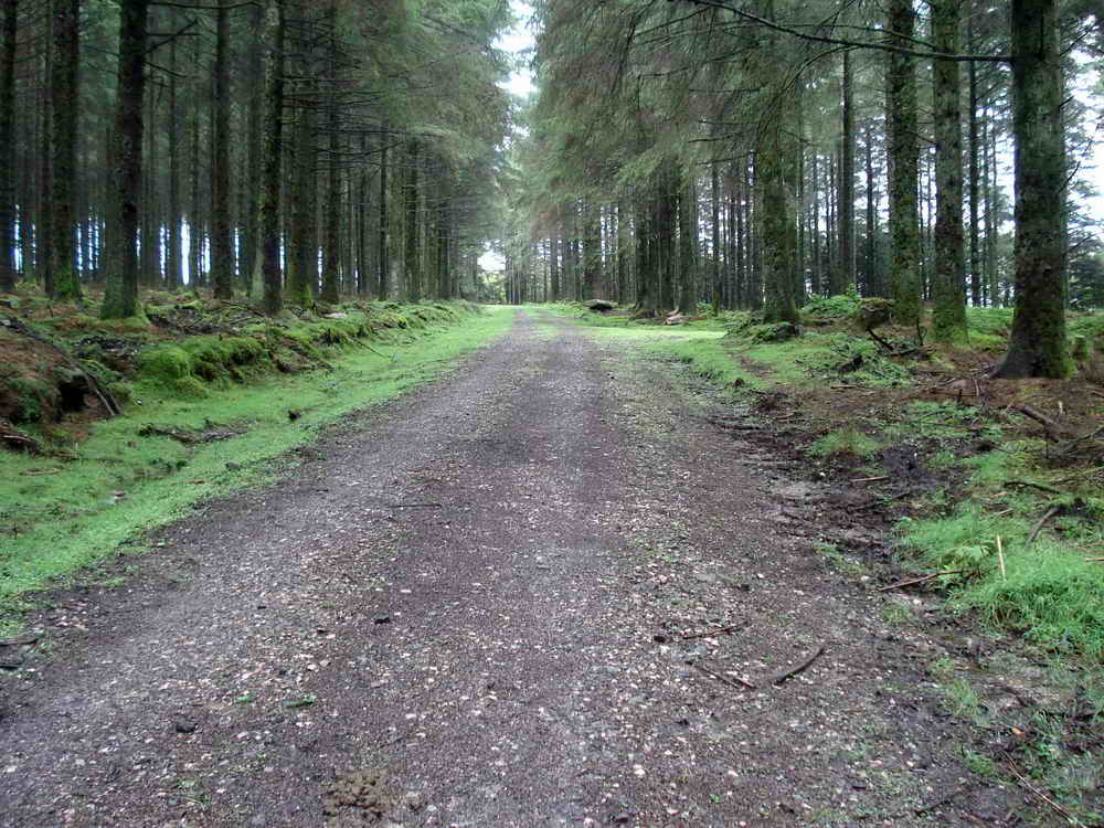
The Forest Road
Our return trip is along the Forest track a little way to our West. It’s a pleasant walk, well sheltered from the elements. There’s a small roadside quarry close to the Car Park, but otherwise little visible history
Parking
The main car park at Postbridge has toilets and a visitor centre. There is free parking nearby where we enter Bellever Forest if you prefer.